


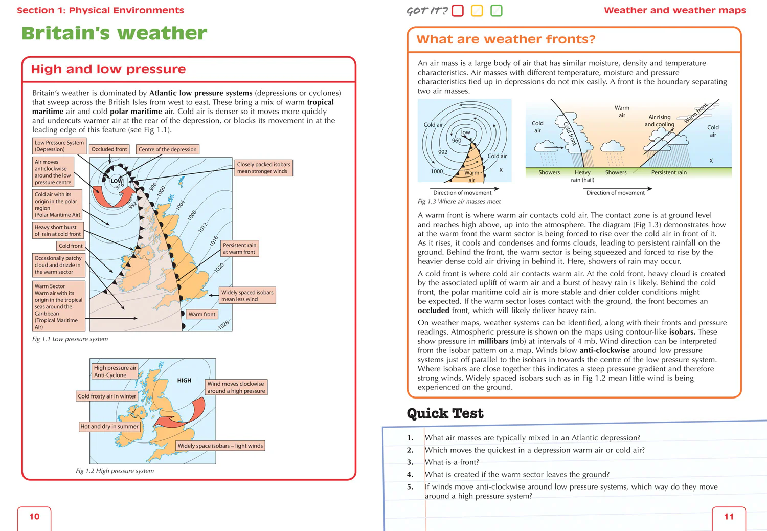
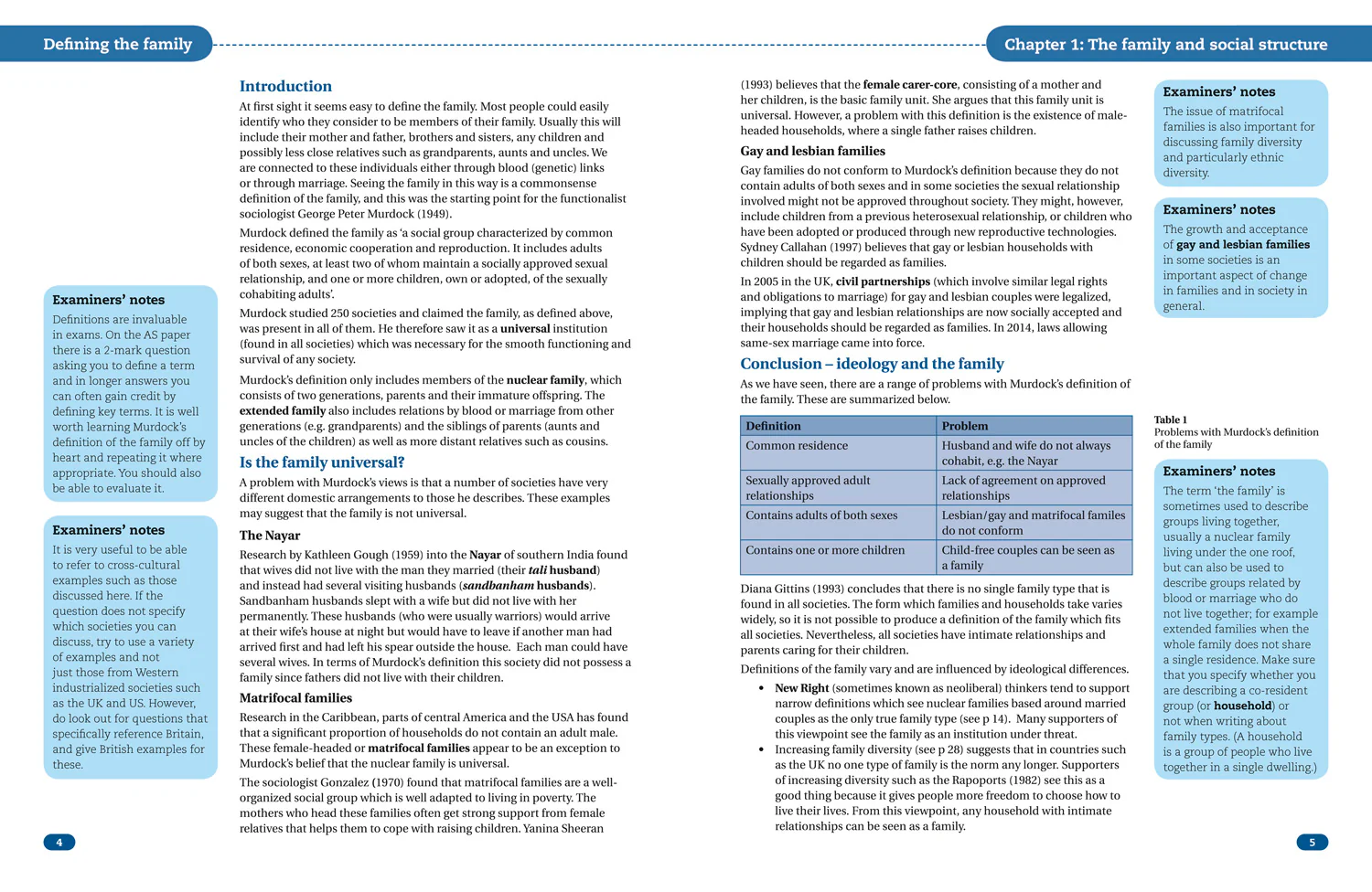
The A-Z Adventure Series uses Ordnance Survey mapping and is the perfect companion for walkers, off-road cyclists, and anyone wishing to explore the great outdoors.
Starting in Winchester and finishing in Eastbourne, the scenic South Downs Way is a 100 mile (160 km) National Trail route lying within the South Downs National Park.
This National Trail Map features detailed Ordnance Survey mapping at a scale of 1:25 000, providing complete coverage of the South Downs Way. It also includes a route planner showing distances between places and the amenities available to make it easy to plan your adventure. Additional features include:
- Campsites (seasonal opening)
- Information Centres
- Hotels/B&Bs
- Youth Hostels
- Public Houses
- Shops
- Restaurants
- Cafes (seasonal opening)
- Petrol Stations
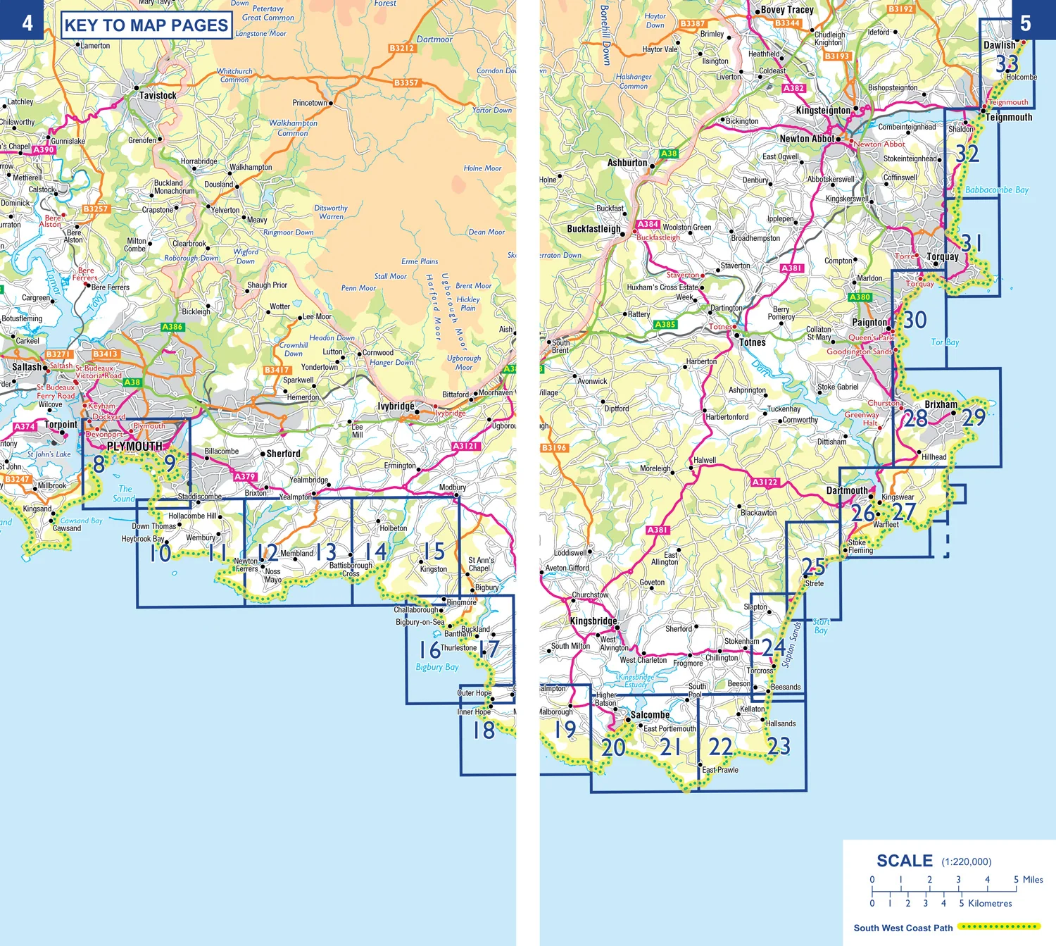
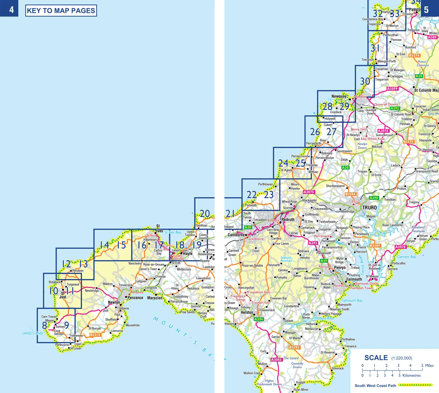
Other books available in the A-Z Adventure series include: Peak District (Dark Peak), Cotswold Way, Peddars Way and Norfolk Coast Path, Pembrokeshire Coast Path, South West Coast Path and The North Coast 500.
Related Products

1000 in stock
1000 in stock

1000 in stock

1000 in stock

1000 in stock

1000 in stock


1000 in stock

1000 in stock

1000 in stock


1000 in stock

1000 in stock

1000 in stock