


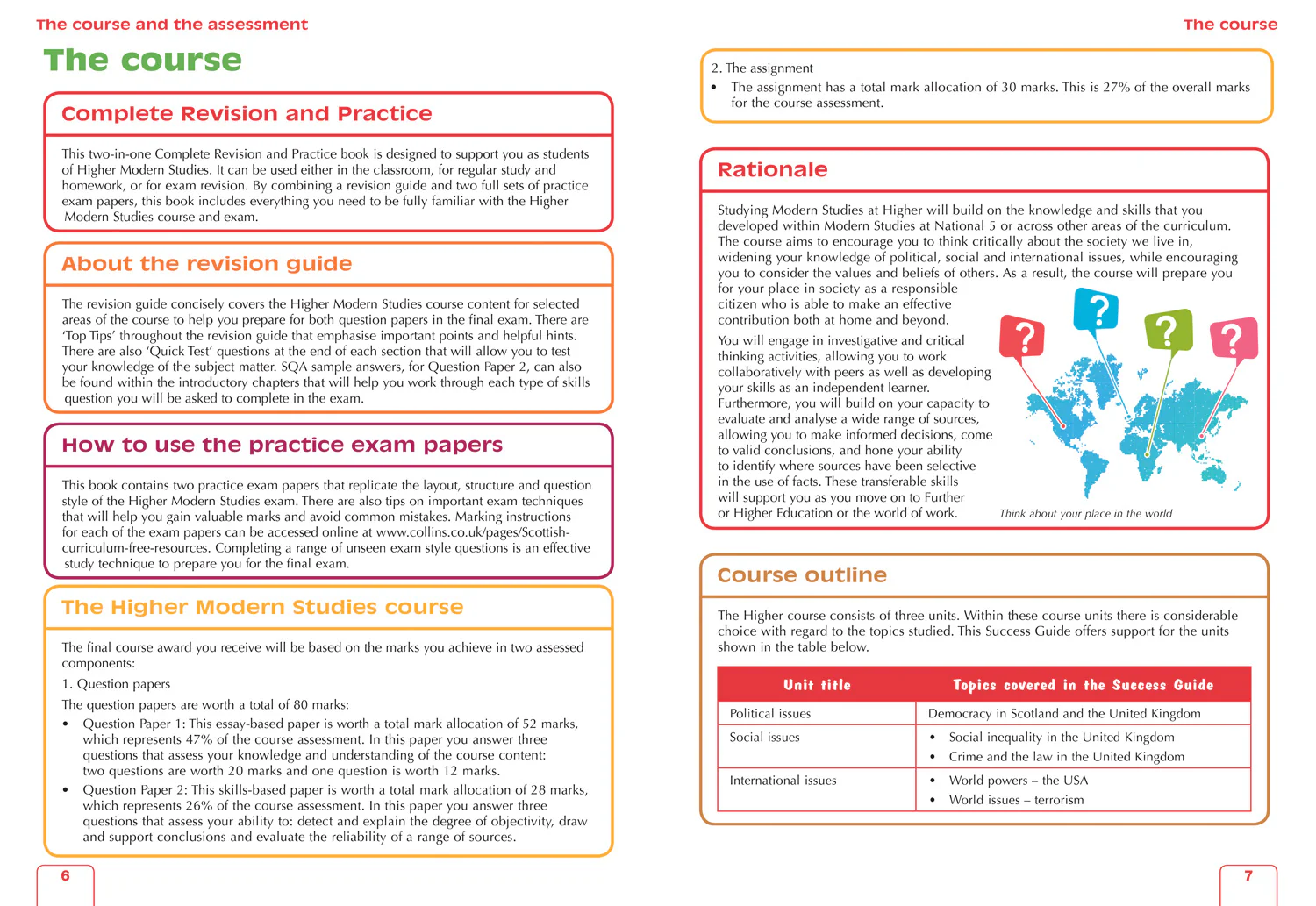
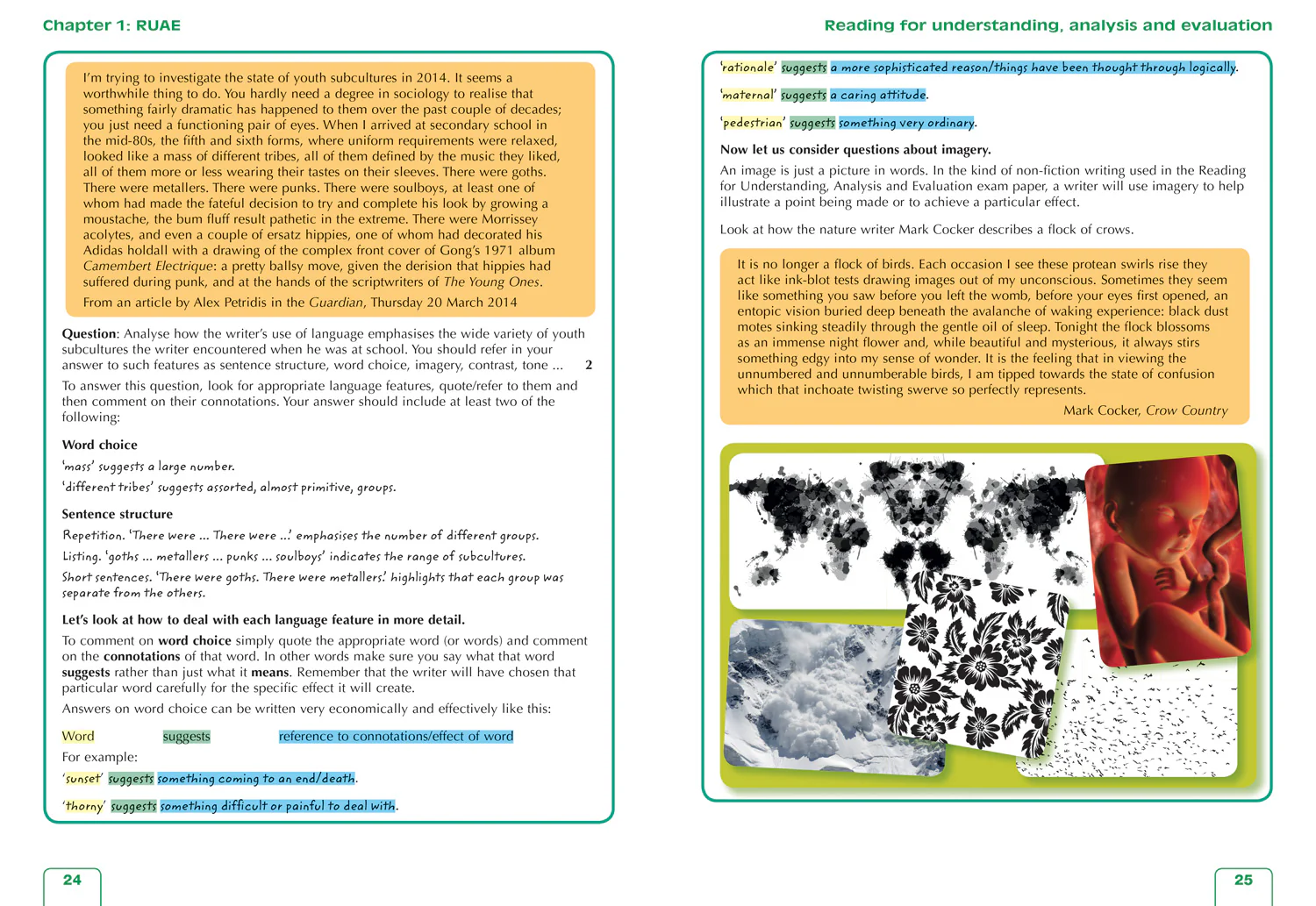
Navigate your way around Edinburgh with this detailed and easy-to-use A-Z Street Atlas.
Printed in full-colour, paperback format, this atlas contains 45 pages of continuous street mapping.
The main mapping extends beyond central Edinburgh at a scale of 3.33 inches to 1 mile, featuring postcode districts, one-way streets, park and ride sites, and safety camera locations. Areas covered include:
- South Queensferry
- Leith
- Prestonpans
- Tranent
- Musselburgh
- Dalkeith
- Bonnyrigg
- Loanhead
- Gorebridge
- Penicuik
- Balerno
- Edinburgh Airport
The large-scale street map of Edinburgh city centre – at a scale of 6.67 inches to 1 mile – includes:
- Places of Interest Guide, highlighting the city’s major tourist attractions and world-famous Edinburgh Festival
- Postcode map of the Edinburgh area
- Road map of the Edinburgh area
- Diagrammatic map of rail and tram connections
A comprehensive index lists streets, selected flats, walkways and places of interest, place, area and station names. Additional healthcare (hospitals, walk-in centres and hospices) and transport connections (Edinburgh Tramway stops) are indexed as well.
Related Products
1000 in stock

1000 in stock

1000 in stock

1000 in stock

1000 in stock
1000 in stock

1000 in stock


1000 in stock
1000 in stock

1000 in stock


1000 in stock

1000 in stock