


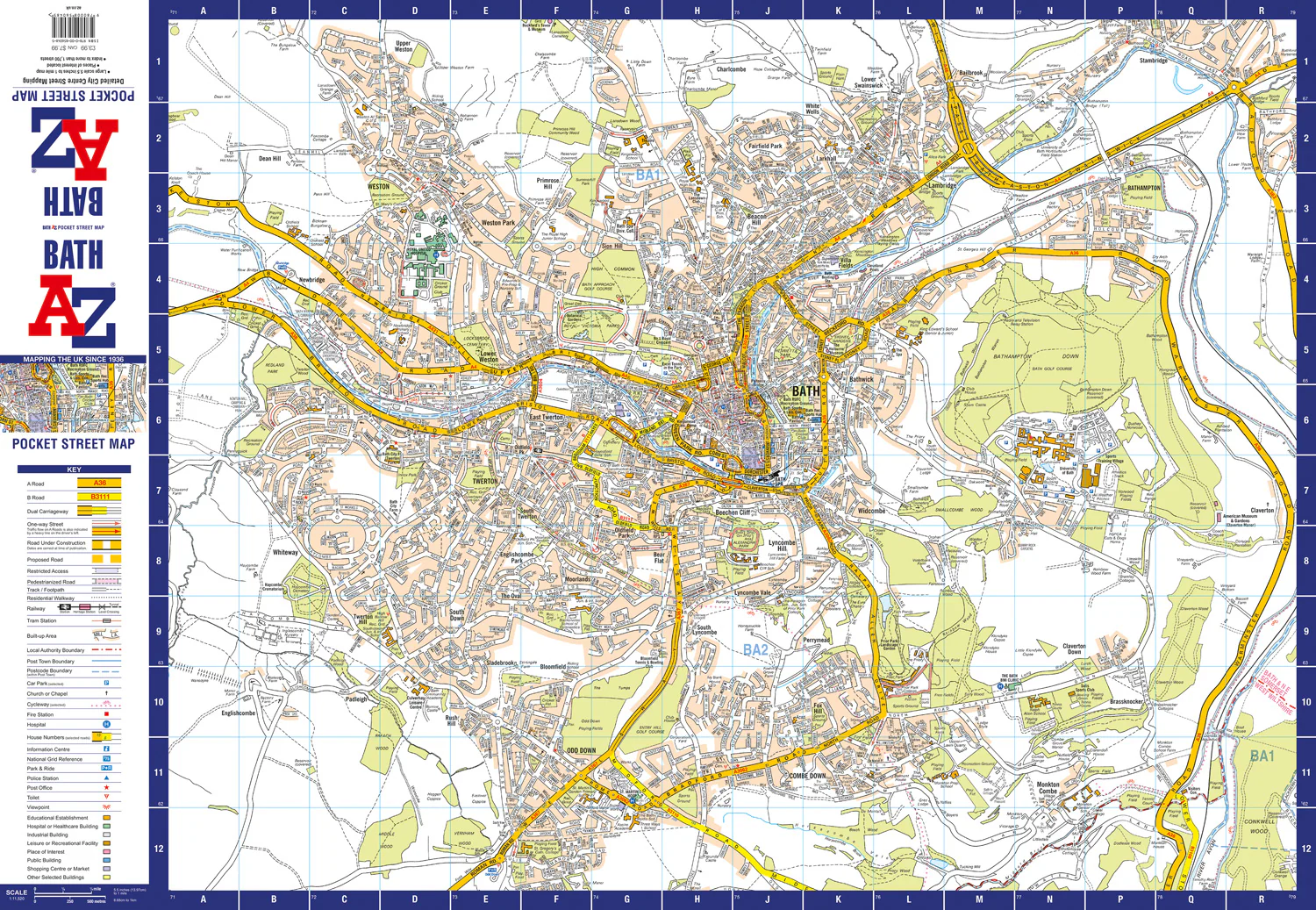

Navigate your way around Salisbury with detailed street maps from A-Z
This up-to-date, folded A-Z street map includes all of the 1,500 streets in and around Salisbury as well as:
- Postcode districts, one-way streets and car parks
- Places of interest
- On the reverse side there is a handy index to streets, places of interest, place and area names, park and ride sites, national rail stations, hospitals and hospices
Detailed coverage of an area extending from Stratford sub Castle in the north to Salisbury District Hospital in the south, and from Laverstock in the east to Wilton Park in the west.
The perfect reference map for finding your way around Salisbury.
Related Products


1000 in stock


1000 in stock


1000 in stock


1000 in stock


1000 in stock


1000 in stock


1000 in stock


1000 in stock

1000 in stock

1000 in stock


1000 in stock

1000 in stock